What is the oldest surviving map of the new world?
And why was it in the possession of an Ottoman Sultan?
For 500 years, Topkapi Palace was the center of the sprawling Ottoman Empire.
In the 20th Century, when Topkapi became a museum, an army of curators began to catalog the treasures of the Sultans.
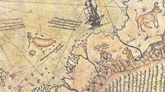
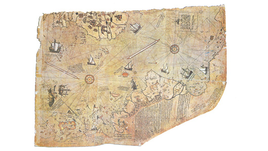
In a bundle of papers, one scholar noticed a faded map, dated 1513 AD.
Though the coastlines diverge from those on modern maps, they display a good approximation of Europe and Africa on one side, and the Caribbean and South America on the other.
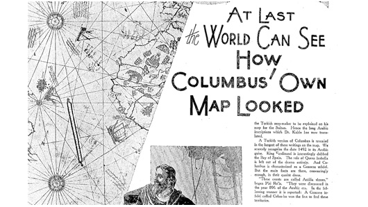
Initially, the map was hailed as the long lost map of Christopher Columbus: the chart of his voyage of 1492. But while Columbus sailed to the Caribbean, he never went to South America. And more importantly… the legends on the map aren’t in Spanish. They’re in Turkish.
That’s very strange, because as of 1513, no Turkish explorer had sailed west of Africa.
So how did this map of the New World come to exist? How did a Sultan get it? And what is it doing in Topkapi Palace?
All is revealed in Museum Secrets: Inside Topkapi.
Further Questions
Though the map in Topkapi Palace is the oldest known map of the New World, many historians believe that the original map of Columbus’ voyage of 1492 may still exist somewhere in the Spanish Archives in Valladolid Spain.


0 Comments
No Comments. Why don't you start a discussion?